Philippines Areas to Avoid: Travel Advisories Explained
Yes, there are specific areas to avoid in the Philippines, and they are real. But they sit in one corner of the far south, and they are nowhere near the islands almost anyone reading this is planning to visit. The headline most travel pages bury is simple: the country at large is safe for tourists, and here is exactly where the flagged zones are, why they carry warnings, and how to read the advisories yourself.
I spend a lot of time matching what the official advisories actually say against what travelers hear secondhand, and the gap is enormous. People come away thinking “the Philippines” has a terrorism problem when the warnings name a handful of southern provinces. So let me lay it out precisely, government by government, with the verdict for each area in plain language.
At a glance: advisory levels by area and by country
The three advisories most English-speaking travelers check are the US State Department, the UK Foreign, Commonwealth & Development Office (FCDO), and Australia’s Smartraveller. They agree almost word for word. The table below maps the main areas against all three and gives my plain-language verdict. Levels were verified in September 2026; always confirm the live version before you book, because advisories change.
| Area | US State Dept | UK FCDO | Australia | My verdict |
|---|---|---|---|---|
| Philippines overall | Level 2: Exercise Increased Caution | See regional advice | Exercise a high degree of caution | Safe for normal tourism, same tier as much of Europe |
| Sulu Archipelago & southern Sulu Sea | Level 4: Do Not Travel | Advise against all travel | Do not travel | Genuine no-go zone. Do not go for any reason |
| Marawi City (Lanao del Sur) | Level 4: Do Not Travel | Within all-travel warning for W/C Mindanao | Within do-not-travel zone | Genuine no-go zone |
| Western & central Mindanao | Level 3: Reconsider Travel | Advise against all travel | Do not travel | Skip it. Not a tourist route anyway |
| Rest of Mindanao | Level 3: Reconsider Travel | Against all but essential travel | Reconsider your need to travel | Cautious. Most travelers have no reason to go beyond the exempted spots |
| Davao City & Davao del Norte | Exempted from Level 3 | (regional) | Treated as safer exception | Visited normally. Major city, regular flights |
| Siargao, Dinagat, Camiguin | Exempted from Level 3 | Exempted from warning | Excluded from warning | Open and popular. Surf, diving, island life |
| Everywhere else (Luzon, Visayas, Palawan, Boracay) | Level 2 only | No regional warning | No regional warning | Safe. This is where nearly all tourism happens |
Read that bottom row again. Manila, Cebu, Bohol, Boracay, Palawan, all of Luzon, the entire Visayas: none of them carry any warning beyond the country-wide Level 2. The “areas to avoid” are not scattered across the map. They cluster in the far southwest.
What the advisory levels actually mean
Before we name the zones, it helps to understand the scale, because the words sound scarier than they measure. Governments do not invent a fresh threat assessment for the Philippines. They slot it into the same tiered system they apply to every country on earth, which is exactly why context matters so much.
The US four-tier system
The US State Department uses four levels. Level 1 is “Exercise Normal Precautions,” the lowest. Level 2 is “Exercise Increased Caution.” Level 3 is “Reconsider Travel.” Level 4 is “Do Not Travel,” the highest, reserved for war zones and places where the government can barely help its own citizens. The Philippines as a whole sits at Level 2.
Here is the perspective most pages skip: Level 2 is the same rating the US currently gives France, Spain, Italy, the United Kingdom, and Germany. If a blanket Level 2 made the Philippines off-limits, it would make a Roman holiday or a week in Paris off-limits too. It does not. Level 2 means stay aware, watch your belongings, avoid demonstrations, and read the regional detail. It does not mean cancel your trip.
The UK FCDO language
The FCDO does not use numbers. It uses two phrases that carry real weight, mostly because British travel insurance often becomes void if you ignore them. “Advise against all travel” is the strongest and matches a Do Not Travel zone. “Advise against all but essential travel” is one notch down, meaning go only if you genuinely must, not for a holiday. Everywhere the FCDO does not flag, you are free to travel with normal sense. For the Philippines, the FCDO flags western and central Mindanao plus the Sulu archipelago at the top level, and the rest of Mindanao at the “all but essential” level, with named island exceptions.
Australia and Canada
Smartraveller (Australia) uses “exercise a high degree of caution,” “reconsider your need to travel,” and “do not travel.” Canada’s wording tracks the same logic. The reassuring part is the alignment: four governments, four wording systems, one conclusion. They draw the danger line around the same southern provinces and treat the same island exceptions, Siargao, Camiguin, Dinagat, and Davao City, as fine. When independent agencies converge this tightly, you can trust the map they are drawing.
Philippines areas to avoid: the no-go zones, decoded
So where exactly should you not go, and why? Three zones carry the highest warnings. All three sit in the far south, on or around the island of Mindanao and the small archipelago trailing southwest from it toward Malaysian Borneo. None of them is a destination you would pass through by accident on a normal Philippines itinerary.
The Sulu Archipelago and southern Sulu Sea
This is the one genuine “do not travel for any reason” zone, and every government agrees. The Sulu Archipelago is the string of islands, including Basilan, Jolo, and Tawi-Tawi, running southwest from the Zamboanga Peninsula. The reason is specific and long-running: armed groups, most notably the Abu Sayyaf Group, have historically carried out kidnappings for ransom on land and at sea, along with bombings and other attacks. These incidents have repeatedly targeted foreign nationals. The US notes its own government has limited ability to provide emergency services there. There is no tourism infrastructure that would tempt a normal traveler into this area, and you should treat the warning as absolute.
Western and central Mindanao
The mainland provinces of western and central Mindanao, including the Zamboanga Peninsula and the Bangsamoro region, carry the strongest warnings from the UK and Australia and a firm Level 3 from the US. The concern is the same family of risks: insurgent activity, occasional clashes between armed groups and security forces, and a kidnapping threat. This is not a beach-and-island region travelers seek out. If you are planning Palawan or Cebu or Siargao, you will never be near it.
Marawi City
Marawi, in Lanao del Sur, sits at Level 4 on its own. In 2017 the city endured a five-month siege by pro-Islamic-State militants that left hundreds dead and large districts in ruins. The US warns of ongoing risk from clashes between militant remnants and security forces. Reconstruction has been slow. There is no visitor reason to go, and the advice is to stay away entirely.
The Mindanao nuance: do not write off the whole island
Here is where almost every fear-driven article goes wrong. It hears “Mindanao” and warns you off the entire second-largest island in the country, an island bigger than many European nations. That is a mistake, and the official advisories themselves carve out the exceptions in black and white.
The US State Department applies Level 3 to Mindanao “except Davao City, Davao del Norte Province, Siargao Island, and the Dinagat Islands.” Those four are explicitly exempted. The UK FCDO names Camiguin, Dinagat, and Siargao as exceptions to its warning. Australia excludes Camiguin, Dinagat, and Siargao too. So the governments doing the warning are also telling you, by name, where the warning does not apply.
Siargao
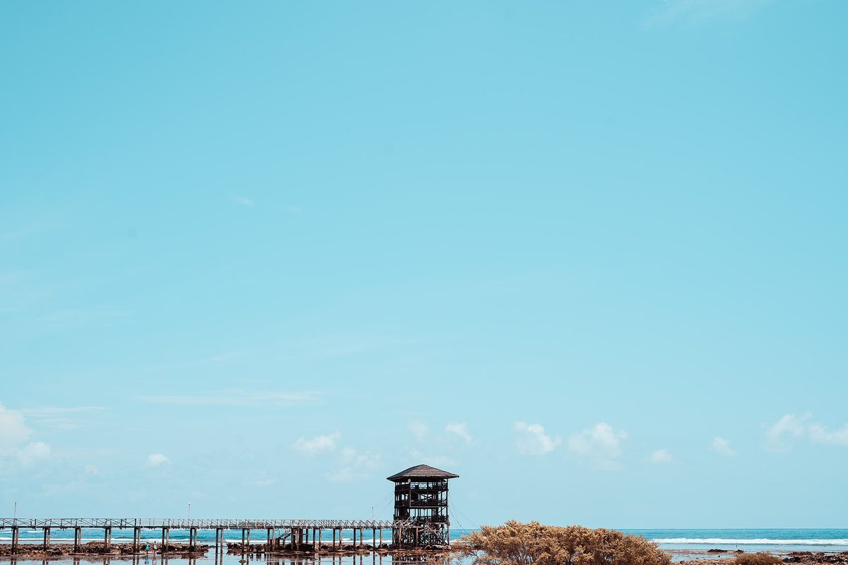
Siargao is the Philippines’ surf capital and one of its most loved island destinations, famous for the Cloud 9 break, lagoons, and a relaxed island scene. It sits in the northeast of the Mindanao group, far from the flagged southwest. Every government treats it as a normal, open destination. If you want the full picture, our Siargao travel guide covers getting there and what to expect.
Davao City and Davao del Norte
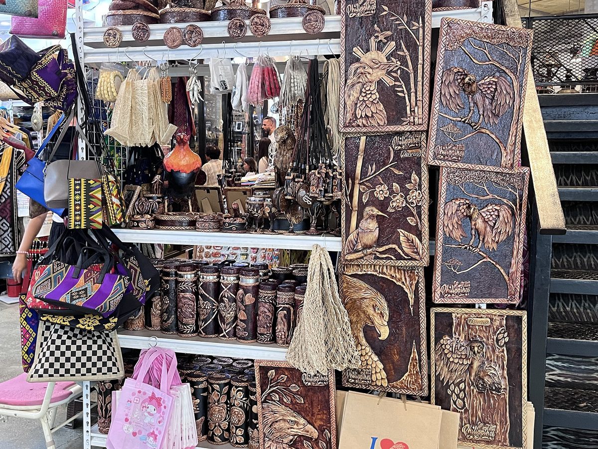
Davao is one of the largest and best-run cities in the country, with regular domestic flights and a long reputation for orderliness. It is explicitly exempted from the Level 3 zone. One nuance worth framing honestly: in February 2026 the US Embassy restricted its own staff’s personal travel within Davao City. That was an internal personnel measure, not a specific threat aimed at private tourists, and Davao City remains outside the Level 3 area in the published advisory. I mention it only because you may see it referenced out of context.
Dinagat and Camiguin
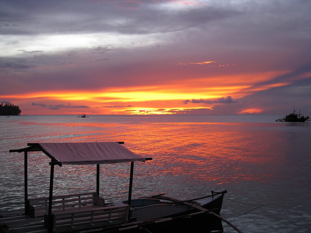
The Dinagat Islands sit just north of Siargao and share its exempted status. Camiguin, a small volcanic island off the north coast of Mindanao, is a quiet diving and hot-springs destination that the UK and Australia both name as a specific exception. These are calm, welcoming places. The lesson holds: “Mindanao” is not a single risk rating, and the exempted corners are genuinely fine.
Areas to avoid that have nothing to do with terrorism
Terrorism advisories are only one slice of “areas to avoid.” The risks more likely to actually touch a normal trip are mundane: a rough city district after midnight, a flood-prone valley in a downpour, an active volcano’s danger zone, or a typhoon-exposed coast in storm season. These are manageable with timing and common sense, and they apply to travel almost anywhere.
A few Manila districts after dark
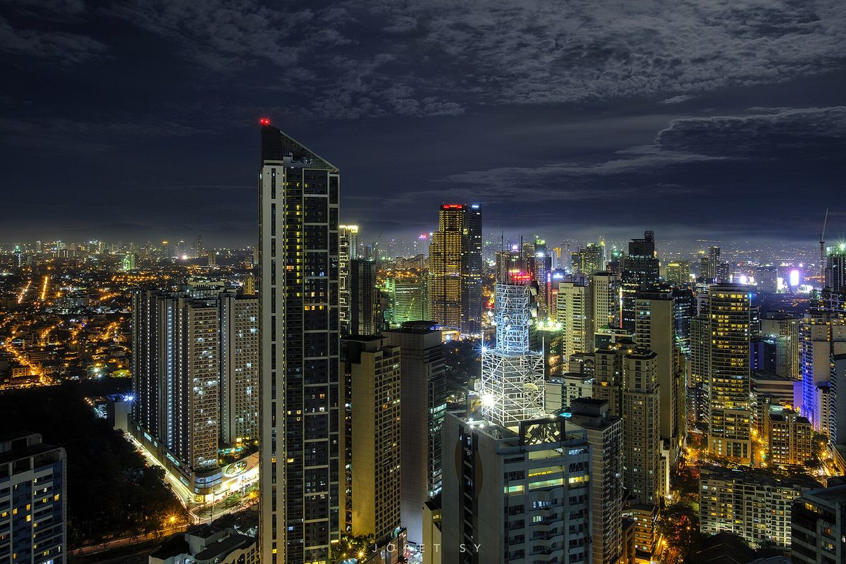
Metro Manila is enormous and overwhelmingly fine to visit, but like any megacity it has pockets that reward caution at night. Districts such as Tondo are dense, low-income neighborhoods with higher street crime, and the parts of Malate beyond the well-lit tourist strip get rougher after dark. The fix is ordinary big-city behavior: stick to busy, well-lit areas at night, use a ride-hailing app rather than flagging a cab, and keep your phone out of sight on the street. Our Manila travel guide breaks down which areas suit visitors, and a ride-hailing app keeps transport disputes to a minimum.
Flood and landslide-prone zones
During heavy rain, low-lying valleys, riverbanks, and steep rural slopes can flood or slide with little warning. This is a seasonal, weather-driven risk rather than a place to permanently avoid. If a storm is forecast, do not push into mountainous back roads or river valleys, and follow local guidance about which routes are passable.
Volcano danger zones
The Philippines has several active volcanoes, and the country’s seismology agency, PHIVOLCS, sets a permanent danger zone radius around each one plus an alert level that changes with activity. As of mid-2026, volcanoes including Mayon, Taal, and Kanlaon on Negros have all seen periods of unrest. Alert levels move up and down, so I will not quote a number that could be stale by the time you read this. The rule is simple: check the current PHIVOLCS level before visiting any volcano region, and never enter a marked permanent danger zone, even if a viewpoint looks tempting.
The typhoon-exposed eastern seaboard in season
Typhoon season runs roughly June through November, peaking July to October, and September, when this guide publishes, is squarely in it. Around 20 cyclones enter Philippine waters each year and 8 or 9 make landfall. The eastern seaboard, the Bicol region, Eastern Visayas, and eastern Mindanao, tends to be hit first and hardest, while Palawan and the western side are comparatively sheltered. This is about timing, not avoidance: build buffer days into any storm-season itinerary, monitor the weather agency PAGASA, and never book a tight connection from an inter-island flight straight onto an international one in peak season. For broader planning, our honest Philippines safety guide puts these natural-hazard risks in full context.
How to read and monitor advisories yourself
The single most useful skill is checking the source rather than the rumor. Advisories are free, current, and specific, and they take five minutes to read. Here is my routine before any trip.
First, read your own government’s page in full, not just the headline level. The detail almost always says “the country is rated X, except these named areas.” That regional breakdown is the part that matters. Second, enrol in your country’s traveler registration program: the US has STEP (the Smart Traveler Enrollment Program), and other countries have equivalents through your embassy. Registration means you get alerts and are easier to locate in an emergency. Third, for natural hazards, bookmark the two Philippine agencies directly: PHIVOLCS for earthquakes and volcanic alert levels, and PAGASA for typhoon signals numbered one through five. Checking these yourself beats relying on a months-old blog post, because conditions move week to week.
One more habit: re-check a day or two before you fly, not just when you book. Advisory text and storm forecasts both change, and the version that matters is the one live on your departure date.
A map in words: region by region
If you picture the Philippines as three big blocks, the safety picture becomes obvious. Luzon, the large northern island, holds Manila, the rice terraces and mountains of the north, and the beaches of the surrounding provinces. It carries no warning beyond Level 2. The Visayas, the central island cluster, holds Cebu, Bohol, Boracay, Negros, and more. No regional warning. This is the heart of Philippine beach tourism. Palawan, the long western island with El Nido and Coron, sits off on its own and is both warning-free and comparatively sheltered from typhoons.
Then there is Mindanao and its archipelago in the south. The southwest, Sulu, Marawi, and western and central Mindanao, is the flagged corner. The northeast islands, Siargao, Dinagat, Camiguin, and the city of Davao, are explicitly exempted and open. So of the country’s three main blocks, two carry no regional warning at all, and the third is fine except for one defined corner. For ideas on where to actually go, the best islands in the Philippines are all comfortably outside the flagged zones.
Why the reputation outruns the reality
The Philippines carries a heavier security reputation than its actual rating supports, and there are reasons for the gap. Headlines about a southern kidnapping or a decades-old siege travel worldwide and attach to “the Philippines” rather than to “a province a thousand kilometers from the nearest tourist island.” A single blanket phrase like “terrorism and kidnapping” in the country summary gets read as a description of the whole country, when it is the standard catch-all language the State Department uses to flag that some regions, named separately, carry those risks.
Hold the facts side by side. The country sits at Level 2, the same tier as France, Spain, Italy, Germany, and the UK. The areas under genuine “do not travel” warnings are a cluster of southern provinces with no tourism draw. Every mainstream destination, Palawan, Cebu, Bohol, Boracay, Siargao, Manila, and the rest of Luzon and the Visayas, is well outside them. Solo travelers worry too: our guide to solo female travel in the Philippines reaches the same conclusion with on-the-ground detail. The reputation is real, but it is geographically misplaced.
Frequently asked questions
Is Mindanao safe to visit?
Parts of it, yes. Western and central Mindanao, Marawi, and the Sulu Archipelago carry serious warnings and should be avoided. But Siargao, the Dinagat Islands, Camiguin, and Davao City are explicitly exempted by the US, UK, and Australian governments and are visited normally. So “Mindanao” is not one answer: the southwest is off-limits, the northeast islands and Davao are fine.
Is the whole Philippines dangerous?
No. The country sits at US Level 2, the same tier as France, Spain, and Italy, meaning take normal precautions. The “do not travel” warnings cover a defined corner of the far south with no tourism infrastructure. Every popular destination, including Palawan, Cebu, Bohol, Boracay, and Manila, sits well outside the flagged zones and carries no regional warning.
What does a Level 2 advisory mean?
Level 2, “Exercise Increased Caution,” is the second of four US tiers. It means stay aware of your surroundings, watch your belongings, avoid demonstrations, and read the regional detail, but it is not a recommendation against travel. It is the same rating the US gives much of Western Europe, so it signals normal-trip awareness rather than danger.
Is Palawan safe?
Yes. Palawan, home to El Nido and Coron, carries no warning beyond the country-wide Level 2 and is hundreds of kilometers from any flagged area. It is also comparatively sheltered from typhoons. The usual sensible travel habits apply, but there is no security advisory specific to Palawan. See our Palawan travel guide for planning.
Which areas should I avoid in the Philippines?
For security: the Sulu Archipelago, Marawi City, and western and central Mindanao. For everyday caution: a few Manila districts such as Tondo after dark. For weather and geology: typhoon-exposed eastern coasts in storm season, flood and landslide-prone valleys during heavy rain, and any active volcano’s marked danger zone. Check PHIVOLCS and PAGASA for live conditions.
Is the Philippines safe right now?
As of September 2026, yes, for the mainstream destinations. The overall rating is Level 2, and the popular islands carry no regional warning. The caveats are seasonal rather than security-based: September is peak typhoon season, so build buffer days and watch PAGASA. Always confirm the current official advisory and weather before you travel, since both change.
The bottom line on where to avoid
The honest answer to “what are the Philippines areas to avoid” is short and specific: a corner of the far south, the Sulu Archipelago, Marawi, and western and central Mindanao, plus the ordinary big-city and seasonal-weather cautions that apply almost everywhere. That is the whole list. Everything else, the islands and cities that fill travel feeds and bucket lists, sits outside the flagged zones and carries nothing heavier than a Level 2 you would shrug at for a trip to Europe.
Avoid the named provinces, time your trip around typhoon season, check PHIVOLCS and PAGASA, register with your embassy, and read the live advisory a day before you fly. Do that, and the gap between the Philippines’ reputation and its reality works entirely in your favor.
Sources and photo credits
Photo credits
- Siargao (Cloud 9): Photo: Spraken eboy2887 / CC BY-SA 4.0 via Wikimedia Commons
- Davao City: Photo: MadayawDavao (CC0) via Wikimedia Commons
- Camiguin Island: Photo: Vlad Rud / CC BY-SA 3.0 via Wikimedia Commons
- Palawan (El Nido): Photo: Vyacheslav Argenberg / CC BY 4.0 via Wikimedia Commons
- Manila skyline: Photo: jopetsy / CC BY 2.0 via Wikimedia Commons
Sources
- US Department of State, Philippines Travel Advisory (Level 2, reissued May 8, 2025)
- UK Foreign, Commonwealth & Development Office, Philippines travel advice
- Australian Government, Smartraveller Philippines advice
- PHIVOLCS (earthquakes and volcano alert levels) and PAGASA (typhoon signals)
About this guide: PhilippinesTourism.org is an independent Philippines travel resource. Advisory levels were verified September 2026; advisories change — always check the current official version before you travel.