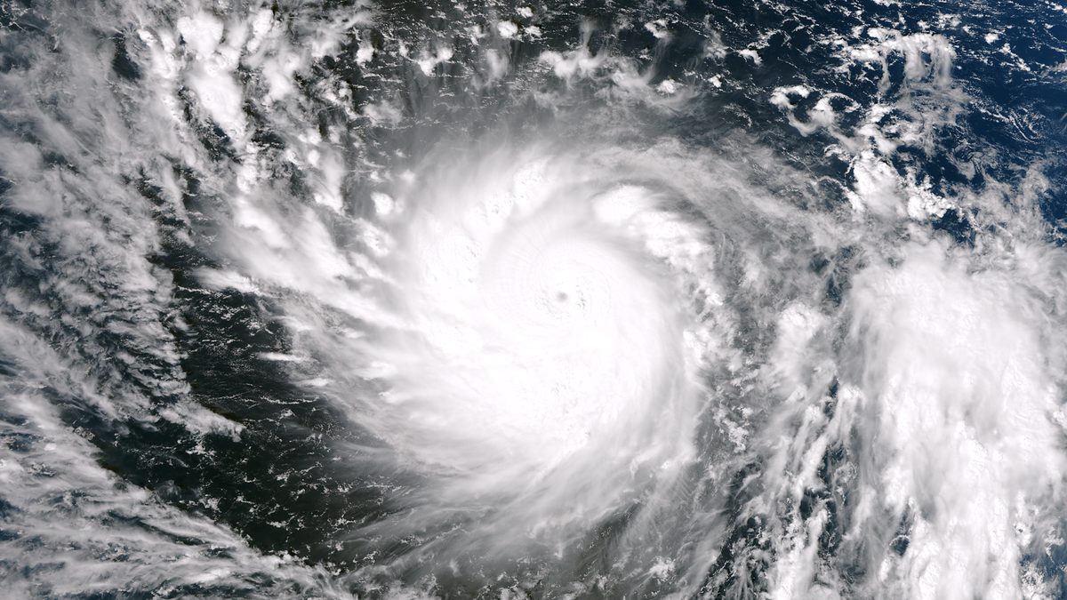
Typhoon Season in the Philippines: What Travelers Should Know
Typhoon season in the Philippines runs roughly from June to November and peaks between July and October, with August to October the most active stretch. The honest reassurance: the archipelago is enormous, most days in most places stay perfectly fine, and millions of travelers visit happily through these months. The caveat is that storms are real, plans need slack, and a little knowledge goes a long way.
I want to be straight with you from the start, because the internet tends to swing between two unhelpful extremes on this topic. One camp says “never go in typhoon season,” which writes off half the calendar and some of the best-value travel of the year. The other waves it away entirely, which ignores the fact that the Philippines is the most cyclone-exposed country on Earth. Neither is right. The reality sits in the middle, and once you understand how the season actually behaves, you can plan around it with confidence rather than dread.
When is typhoon season in the Philippines?
The Philippine typhoon season officially spans June through November, though tropical cyclones can technically form in any month. What matters more than the bookends is the peak: July to October is when the country sees the most activity, and PAGASA, the national weather agency, notes that nearly 70% of typhoons develop during this window. August, September and October are the months I’d flag as the busiest for storms.
The numbers help put it in perspective. More tropical cyclones enter the Philippine Area of Responsibility (PAR) than anywhere else on the planet: an average of around 20 per year, of which roughly 8 or 9 actually cross the islands and make landfall. The rest spin past out at sea or curve north toward Taiwan and Japan before reaching land. For the 2026 season, PAGASA forecast that nine to thirteen tropical cyclones could form within or enter PAR between June and November, and the season had already produced several systems by mid-year. That is roughly typical, not unusually severe, but it is a useful reminder that “a normal year” still means a steady procession of storms.
Why this region? The Philippines sits squarely in the western Pacific, the most prolific tropical-cyclone basin in the world. Warm sea-surface temperatures and the right atmospheric conditions through the second half of the year give storms the fuel they need. The dry season, by contrast, runs from December to May, and that is the stretch most guides (ours included, in our look at the best time to visit the Philippines) point first-time visitors toward. If your dates are flexible and you want the calmest seas, that window is the safe default. But “best” and “only” are different words, and plenty of people travel the wet months on purpose.
Typhoon season Philippines: a month-by-month risk guide
Here is the year laid out month by month. Treat the risk levels as general probability, not prophecy: a quiet October can be glorious, and a freak storm can appear in a “low” month. Use it to weight your odds, then check PAGASA close to your travel dates for what is actually happening.
| Month | Typhoon risk | What to expect | Where it hits hardest |
|---|---|---|---|
| January | Very low | Peak dry season; cool, breezy, reliable. Tail-end storms are rare but not impossible. | Eastern Visayas, eastern Mindanao (if any) |
| February | Very low | Driest, most settled month nationwide. Prime island-hopping conditions. | Negligible |
| March | Very low | Hot and dry; seas calm. Excellent for diving and boat trips. | Negligible |
| April | Low | Hottest month; still firmly dry season. Occasional early system far out at sea. | Eastern seaboard (rare) |
| May | Low–moderate | Transition month; first storms can form and the southwest monsoon may begin late in the month. | Eastern Luzon, Visayas |
| June | Moderate | Season officially opens; habagat (SW monsoon) rains start on the western seaboard. | Luzon, Manila (monsoon rain) |
| July | High | Activity ramps up sharply; monsoon plus typhoons can stack heavy rain on Luzon. | Luzon, Visayas, eastern coasts |
| August | High | One of the busiest months; enhanced habagat can flood Manila even without a direct hit. | Luzon, western seaboard |
| September | Very high | Often the single most active month for landfalling storms. | Luzon, Visayas, Bicol |
| October | Very high | Peak continues; strong late-season typhoons are common. | Luzon, Visayas, eastern Mindanao |
| November | High | Season winding down but far from over; some of history’s worst storms struck now. | Visayas, Bicol, eastern coasts |
| December | Low–moderate | Usually drying out, but late storms do happen (Typhoon Rai hit in December 2021). | Visayas, Mindanao, Palawan (rare) |
The pattern to take away: the risk builds through summer, crests in September and October, and tapers through November and December without vanishing. If you want the lowest odds of disruption, aim for January to April. If you are weighing the shoulder months, June, July and late November are calmer bets than the August-to-October core. For the full climate picture across the year, our guide to Philippines weather month by month breaks down rainfall, temperature and sea conditions region by region.
Typhoon or habagat? Why the difference matters
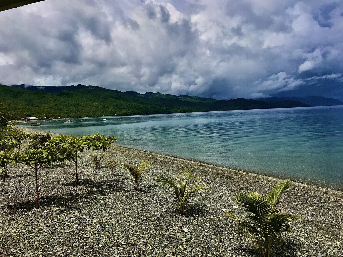
This is the single most useful distinction for a traveler, and most guides skip it entirely. Not all the rain you will see in these months comes from a typhoon. A great deal of it comes from the habagat, the southwest monsoon, which blows from roughly June to October and carries moisture-laden air over the western side of the country. That is the engine of the Philippine rainy season, storm or no storm.
The practical upshot: you can have days of grey skies and heavy downpours in Manila, Boracay or the west coast of Luzon with no typhoon anywhere near the country. The habagat alone, especially when “enhanced” by a distant storm pulling moisture toward it, can dump enough rain to flood low-lying parts of Metro Manila. Conversely, the eastern seaboard can be getting battered by a typhoon while the habagat keeps the west merely damp. Two different weather systems, two different parts of the country, often at the same time.
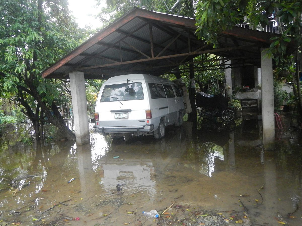
Why does this matter for your trip? Because a monsoon soaking and a typhoon are managed completely differently. Monsoon rain is an inconvenience: you carry a poncho, you shift the beach day to a museum day, you wait it out over a long lunch. A typhoon is a safety event: signals get raised, flights and ferries stop, and you stay put until it passes. When you read a forecast or a worried message from home, the first question to ask is which one you are actually dealing with. Often it is “just” the habagat, and the answer is to relax and reschedule, not to panic.
PAGASA wind signals #1 to #5, explained for travelers
When a tropical cyclone threatens, PAGASA raises a Tropical Cyclone Wind Signal (TCWS) over the areas in its path, numbered 1 to 5. The number tells you the strength of wind expected within about 36 hours, and as a visitor it is the single most important figure to watch, because it drives the decisions airlines, ferry operators and local officials make. Here is what each level means in plain terms.
| Signal | Winds expected | What it means for you |
|---|---|---|
| #1 | 39–61 km/h | A strong tropical depression or distant storm. Life mostly carries on; expect rain, gusts and possibly some ferry delays. Most travelers who encounter a storm see this level at worst. |
| #2 | 62–88 km/h | A genuine storm. Ferry cancellations typically begin here, some domestic flights are affected, and outdoor tours are likely off. Stay flexible and indoors during the worst of it. |
| #3 | 89–117 km/h | A serious typhoon. Sea travel is largely suspended, many flights are grounded, schools and offices close. Do not travel; shelter in solid accommodation and follow local guidance. |
| #4 | 118–184 km/h | A severe, dangerous typhoon. Widespread shutdowns, power outages and structural damage are likely. Stay indoors, away from windows, and heed all evacuation orders. |
| #5 | 185 km/h or higher | A catastrophic, violent typhoon (the top level, added in 2015). This is a life-threatening emergency. Follow official instructions without exception. |
A few things worth knowing. The signals can skip levels: an area under Signal #1 can jump straight to #3 if a storm intensifies or speeds up, so do not assume a gradual climb. The signal also reflects a forecast, not a current measurement, which is why it can be raised well before the weather turns. And it is area-specific: one province may be under Signal #3 while a province a few hundred kilometers away sits under no signal at all. For the overwhelming majority of trips, the worst you will personally see is Signal #1 or #2, both of which are manageable with patience. The higher numbers are rare for any given traveler, but they are exactly when you stop sightseeing and start listening to local authorities.
Which regions are safest during typhoon season?
This is where the Philippines’ size becomes your best friend. Storms do not blanket the whole country at once; they track along corridors, and some regions sit well outside the usual firing line. Knowing the geography lets you keep traveling even at the height of the season.
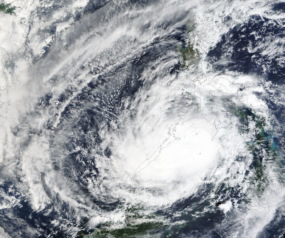
The eastern, Pacific-facing seaboard takes the brunt: Bicol, Eastern Visayas (Samar and Leyte), the eastern side of Mindanao, and surf islands like Siargao are usually hit first and hardest, since storms arrive from the Pacific. Northern Luzon, including the mountains and the far-north Batanes islands, also sees frequent activity. If you are heading to these areas in peak months, build in the most schedule flexibility.
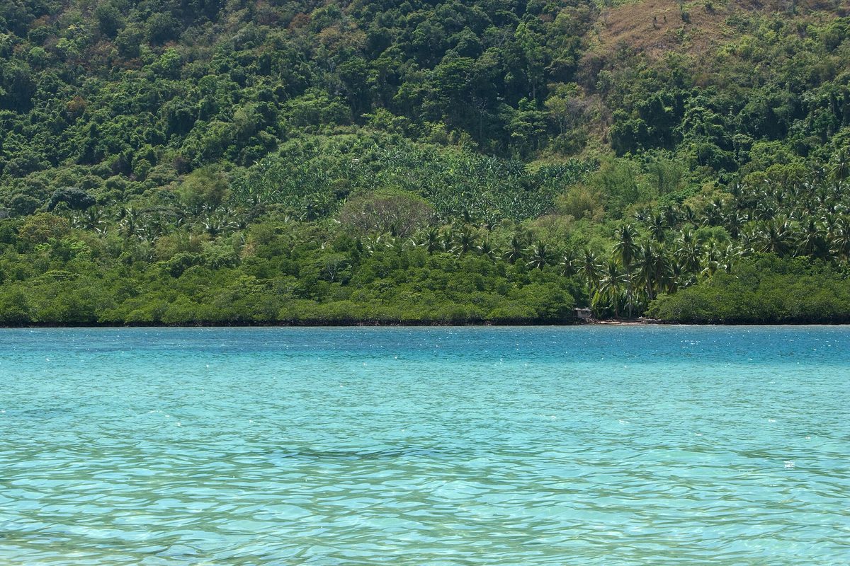
The western and southern islands sit in what locals call the “typhoon shadow.” Palawan is the classic typhoon-season refuge: tucked along the western edge of the archipelago, it dodges most systems and frequently stays sunny while the east is stormy. El Nido can get rough at the very peak, but Coron and Puerto Princesa hold up well, and diving visibility is often excellent. For a deeper look at the islands, capital and conditions, see our Palawan travel guide.
Mindanao gets far fewer typhoons than Luzon. The big southern island lies mostly below the main storm corridor, and cities like Davao are geographically sheltered, accessible year-round in most conditions. (Standard travel advisories flag specific parts of western and central Mindanao for other reasons, so check those separately, but for weather, the south is statistically the calmest third of the country.) Cebu and Bohol, in the central Visayas, can catch the edges of storms but are often spared the worst, and their popularity means flights and ferries recover quickly.
So a realistic peak-season strategy looks like this: lean west and south, keep the eastern seaboard for the dry months or for short, flexible visits, and always have a Plan B island in your back pocket. If a storm is forecast for where you are, you can frequently fly an hour to clear skies.
Should you travel during typhoon season? An honest cost-benefit
Let me give you the straight version, the same way I would tell a friend. Traveling during typhoon season is a genuine trade-off, not a mistake and not a free lunch. Whether it is right for you depends on your temperament and your itinerary.
What you gain. Prices drop, often steeply: flights and accommodation in the wet months can run a fraction of peak-season rates, and our Philippines travel cost guide breaks down just how far your money stretches in low season. Beaches that are shoulder-to-shoulder in March can be nearly empty. The landscape turns lush and green, waterfalls run full and dramatic, and the famous post-storm light is something photographers chase on purpose. You also meet the country at a gentler pace, with locals who have more time for you. For surfers, the calculus flips entirely: Siargao’s wave season peaks from around August to November, so the “bad” months are the good ones.
What you risk. The headline risk is disruption. Domestic flights and inter-island ferries get cancelled or rescheduled when signals go up, sometimes with little notice. A rigid, tightly-connected itinerary can unravel fast. Some smaller resorts and seasonal operators close. Outdoor plans, canyoneering, remote-island day trips, mountain treks, may be off the table on the wettest days, and currents around waterfalls and dive sites can turn dangerous. None of this is catastrophic if you have built in slack; all of it is stressful if you have not.
My honest take: if you are an adaptable traveler who can shrug off a lost afternoon, treat a “nowhere to be” day as a gift, and you weight your trip toward Palawan, Mindanao or the central Visayas, typhoon season can be one of the best-value, most memorable trips you will take. If you have a fixed two-week window, a packed schedule, an event you cannot miss, or you simply need guaranteed sunshine at 10am, the dry season will serve you far better. There is no wrong answer, only the one that fits how you like to travel.
What to actually do if a storm hits your trip
Here is the part most guides leave out: a clear playbook for when a typhoon is genuinely heading your way. The good news is that the Philippines does this often, the systems work, and Filipinos are extraordinarily good in a storm. Your job is to stay calm, stay informed and stay put.
Watch the right sources. PAGASA is the official authority; its bulletins, wind signals and the Severe Weather Bulletin are the ground truth. Supplement with local news and, honestly, your accommodation host, who often knows the local picture before any app does. Asking “how’s the weather looking?” each morning during a storm watch is the best habit you can build.
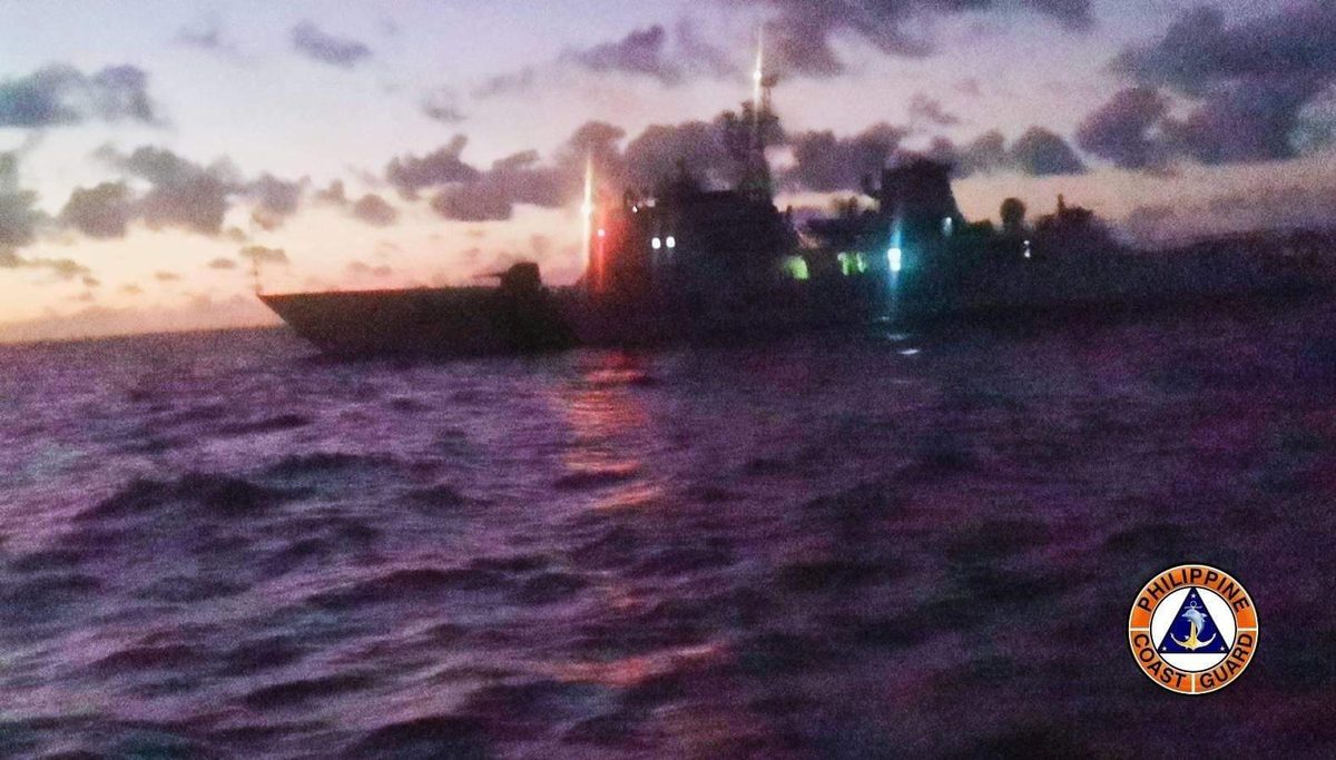
Understand the no-sail orders. When seas turn dangerous, the Philippine Coast Guard, not the ferry companies, suspends sailings. These “no-sail” orders typically start kicking in around Signal #2 and become near-total by Signal #3. Do not try to beat them or argue with a port that has stopped boats; the rule exists because inter-island ferries are exactly what storms sink. If you are island-hopping, our guide to getting around the Philippines explains how ferries and domestic flights connect, and why buffer days matter most here.
Rebook early, not late. Airlines, Cebu Pacific, Philippine Airlines and AirAsia, tend to cancel and rebook around weather with surprisingly little drama, often by SMS the night before. The moment a storm is forecast, get ahead of it: rebook proactively, use the airline app, and keep notifications on. During disruptions the app queues clog, so calling the airline directly often reaches a human faster.
Stay put and wait it out. If a signal is up where you are, the safest move is almost always to stop moving. Pick solid accommodation, stock a little water and snacks, charge your power bank, and treat it as an enforced rest day. Storms pass, usually within a day or two, and the clear skies afterward are often spectacular. Avoid floodwaters, downed power lines and swollen rivers, and follow any instructions from local officials, who will not hesitate to evacuate areas at risk of storm surge or landslides.
Lean on the buffer. This is why the planning advice below matters so much: a single buffer day before an international flight, or a flexible booking instead of a locked-in one, turns a potential disaster into a minor reshuffle. The travelers who struggle in typhoon season are almost always the ones with no slack in the system.
Booking and insurance tips for the wet months
A handful of habits make typhoon-season travel dramatically less stressful. None of them are complicated, and together they are the difference between an adventure and an ordeal.
- Buy travel insurance with trip-disruption cover, and read what it includes. This is non-negotiable in storm season. You want cancellation, delay and medical coverage, and ideally a policy that responds to weather-related disruption. The cost is trivial next to a missed international flight or a forced hotel stay.
- Book flexible, refundable rates wherever you can. Free-cancellation accommodation lets you pivot to a different island without losing money. Pay the small premium for it in peak months; it is cheaper than the alternative.
- Build buffer days before any international departure. Get back to your departure city, Manila, Cebu or Clark, at least a full day early. If a storm grounds your domestic flight the morning of an international connection, that buffer is what saves the trip.
- Keep inter-island travel days loose. Don’t stack a ferry, a flight and a tour into one day during peak season. Hold a “nowhere to be” day each week so a weather delay doesn’t cascade through your whole plan.
- Carry cash and a charged power bank. Storms cause power cuts, and ATMs on smaller islands run dry. Download offline maps and your airline app before you go.
- Favor the typhoon-shadow regions in your routing. If you are nervous, weight the itinerary toward Palawan, the central Visayas and Mindanao, and treat the eastern seaboard as a flexible add-on rather than a fixed anchor.
For peace of mind on the broader picture, our guide to whether the Philippines is safe covers weather alongside the everyday practicalities, and it reinforces the same theme: this is a country that handles storms routinely, and an informed, flexible traveler has very little to fear.
Frequently asked questions
When exactly is typhoon season in the Philippines?
It officially runs June through November and peaks from July to October, with August to October the most active. Tropical cyclones can form in any month, but they are rare in the December-to-May dry season. If you want the calmest seas and lowest disruption risk, January through April is the safest window for island-hopping and boat trips.
How many typhoons hit the Philippines each year?
On average, about 20 tropical cyclones enter the Philippine Area of Responsibility annually, the most of any country on Earth. Of those, roughly 8 or 9 actually make landfall; the rest pass out at sea or curve north toward Taiwan and Japan. A typical year, in other words, still means a steady stream of storms, though most affect only part of the country at a time.
Is it safe to travel to the Philippines during typhoon season?
Generally yes, with flexibility and common sense. Millions visit in these months without incident. The keys are monitoring PAGASA, building buffer days, carrying travel insurance, and favoring typhoon-shadow regions like Palawan and Mindanao. The real risk is disruption, cancelled flights and ferries, rather than personal danger, provided you stay put when signals are raised and follow local guidance.
Where can I go to avoid typhoons in the Philippines?
Head west and south. Palawan, especially Coron and Puerto Princesa, sits in the “typhoon shadow” and often stays sunny while the east is stormy. Mindanao, including Davao, gets far fewer typhoons than Luzon. The central Visayas, Cebu and Bohol, are usually spared the worst. The eastern seaboard, Bicol, Samar, Leyte and Siargao, is hit hardest and earliest.
What’s the difference between a typhoon and the habagat?
A typhoon is an organized tropical cyclone with a defined center and dangerous winds. The habagat is the southwest monsoon, a seasonal wind from June to October that brings sustained rain to the western Philippines. Crucially, the habagat can flood Manila with no typhoon present. One is a safety event requiring you to shelter; the other is rain you simply plan around.
Do flights and ferries really get cancelled during storms?
Yes. The Philippine Coast Guard suspends ferry sailings when seas become dangerous, typically starting around Wind Signal #2 and near-total by #3. Domestic airlines cancel, merge and reschedule flights around weather, often with only a night’s notice by SMS. This is exactly why buffer days before international departures and flexible bookings are essential during the wet months.
Sources and photo credits
Photo credits
- Typhoon satellite view approaching the Philippines — NASA/NOAA, public domain, via Wikimedia Commons
- Tropical cyclone over the Philippines (MODIS) — MODIS Land Rapid Response Team, NASA GSFC, public domain, via Wikimedia Commons
- Monsoon flooding, Bulacan — Judgefloro, CC0, via Wikimedia Commons
- Storm clouds over a tropical coast — Derk29, CC BY-SA 4.0, via Wikimedia Commons
- Philippine Coast Guard vessel — Philippine Coast Guard, public domain, via Wikimedia Commons
- Calm lagoon, El Nido, Palawan — Vyacheslav Argenberg, CC BY 4.0, via Wikimedia Commons
Sources and further reading
- PAGASA — Tropical Cyclone Information
- PAGASA — Tropical Cyclone Wind Signal system
- U.S. Embassy in the Philippines — 2026 Typhoon Season weather alert
- PAGASA — Severe Weather Bulletin (live storm updates)
About this guide: PhilippinesTourism.org is an independent Philippines travel resource. Facts were verified July 2026; storm activity varies year to year, so always check PAGASA and your airline before and during travel.